You haven't signed in yet, you can have a better experience after signing in
 Arc Hydro Groundwater 3 watershed modeling system tool software

Activity Rules
1、Activity time:{{ info.groupon.start_at }} ~ {{ info.groupon.end_at }}。
1、Activity time:cease when sold out。
2、Validity period of the Group Buying:{{ info.groupon.expire_days * 24 }} hours。
3、Number of Group Buying:{{ info.groupon.need_count }}x。
Please Pay Attention
1、Teamwork process: Join/initiate a Group Buying and make a successful payment - Within the validity period, the number of team members meets the activity requirements - Group Buying succeeded!
2、If the number of participants cannot be met within the valid period, the group will fail, and the paid amount will be refunded in the original way.
3、The number of people required and the time of the event may vary among different products. Please pay attention to the rules of the event.
ESRI and Aquaveo are pleased to bring you Arc Hydro Groundwater Tools to help you better manage groundwater and underground data in ArcGIS.
Based on the Arc Hydro groundwater data model, these tools will enable you to utilize the ArcGIS platform to archive, manage, and visualize your groundwater information.
- Expand your ArcGIS software with groundwater and underground geographic processing tools developed in collaboration with ESRI
- Georeferenced underground data, including boreholes, sketched cross-sections, and geographic volumes
- Reduce the need for multiple applications - Visualize model data in ArcGIS
- GIS maps for storing, georeferencing, and creating MODFLOW model input and solution data
Groundwater Analyst
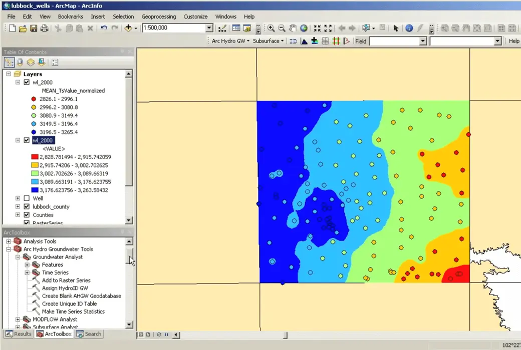
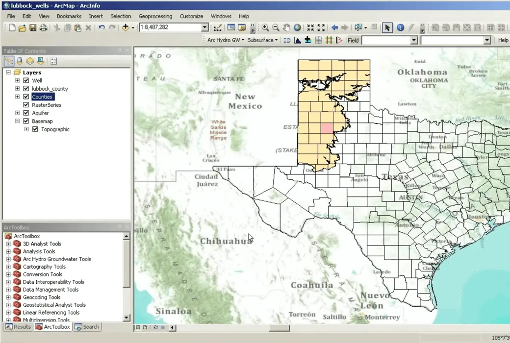
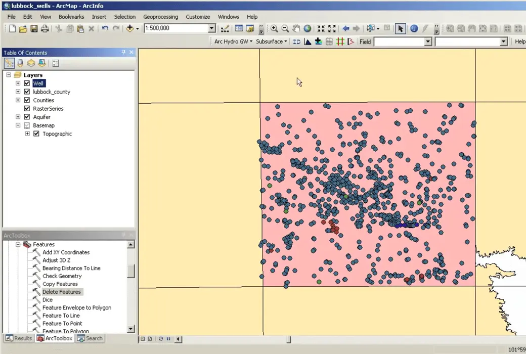
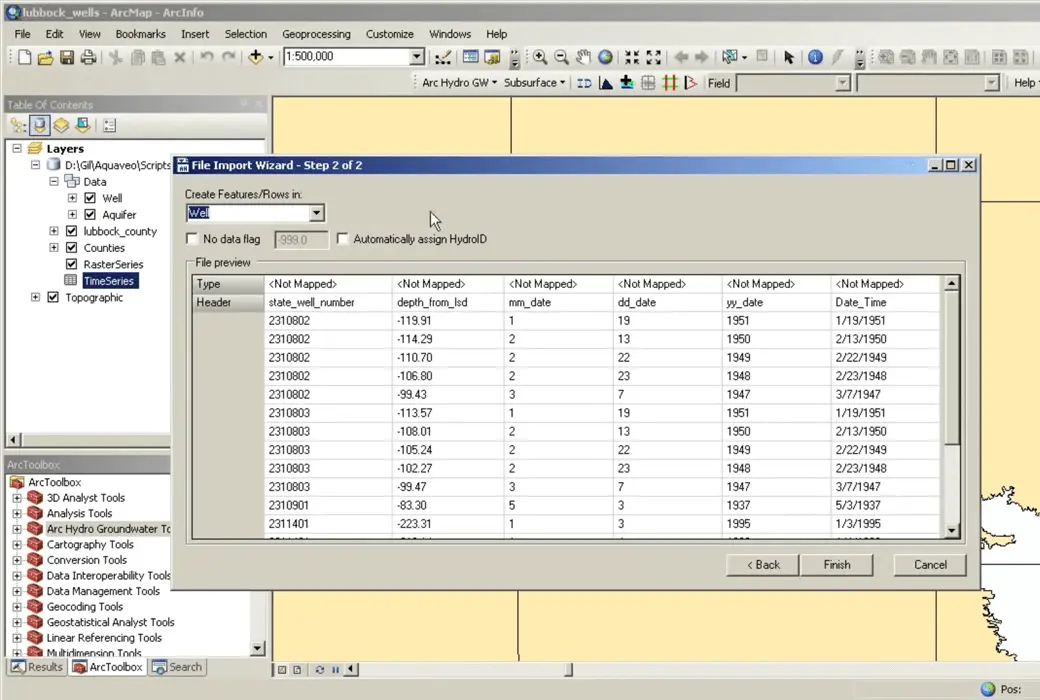
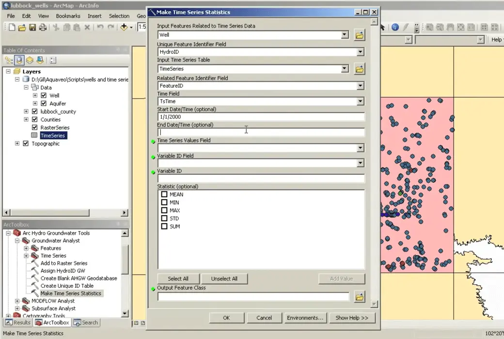
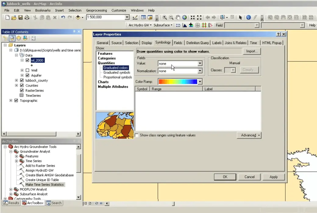
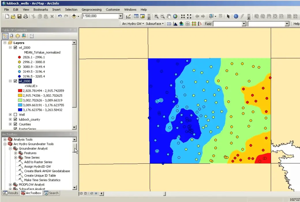
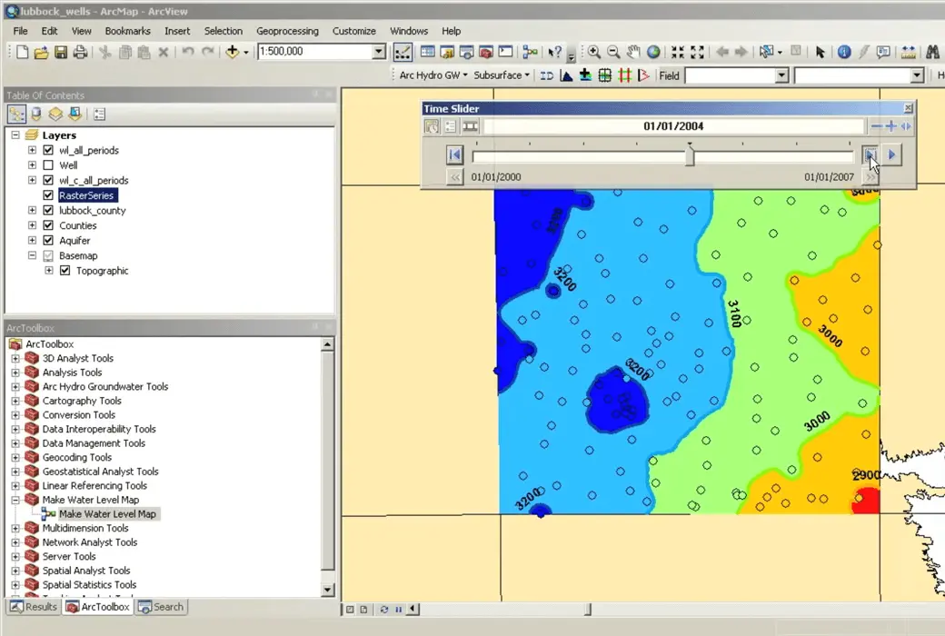
Import various datasets (wells, time series, cross-sections, volumes) into your geographic database, manage layer symbol systems in ArcMap and ArcScene, draw and plot time series, and create commonly used product maps such as water level, water quality, and flow direction.
MODFLOW Analyst
Edit, archive, and visualize MODFLOW models in ArcGIS. The tools in the toolkit enable you to import existing models into a geographic database and georeference the model, so that you can visualize and analyze the results in the context of other GIS data, as well as modify the model based on GIS features.
Subsurface Analyst
Create and visualize 2D and 3D geological models, starting from the classification and visualization of drilling logs, the creation and editing of cross-sections, and the generation of 3D geological profiles and volumes.
Whether you are working in the petroleum, geotechnical engineering, mining, or groundwater industries, the new Subsurface Analyst will manage all underground data in ArcGIS.
Requirements for Arc Hydro Groundwater System
- ArcGIS ®: Version 9.3-10.8 (for users with basic or higher level licenses)
- Microsoft ® .NE T Framework version 3.5 (if not present, will be installed together with Arc Hydro Groundwater)
After the installation of Arc Hydro Groundwater is completed, it needs to be enabled in ArcGIS NET support
- ESRI's 3D Analyst is needed to visualize 3D features
- Interpolation requires ESRI's Spatial Analyst

Official website:https://www.aquaveo.com/software/ahgw-archydro-groundwater-introduction
Download Center:https://ahgw-arc-hydro-groundwater.apsgo.cn
Backup Download:N/A
Delivery time:Manual processing
Operating platform:Windows 10+
Interface language:Supports English interface display, with multiple languages available.
Update instructions:Supports 1-year maintenance, updates, and upgrades.
Pre purchase trial:Free trial before purchase.
How to receive the goods:After purchase, the activation information will be sent to the email address at the time of placing the order, and the corresponding product activation code can be viewed in the personal center, My Orders.
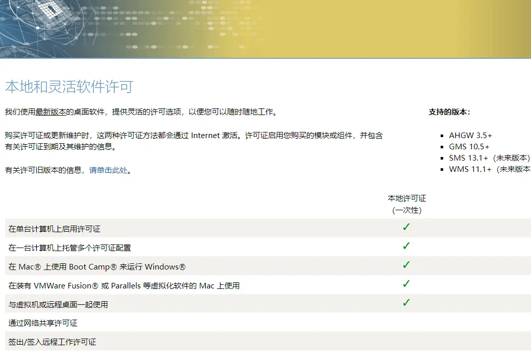
Number of devices:Can install 1 computer.
Replacing the computer:Uninstall the original computer and activate the new computer.
Activation guidance:To be added.
Special instructions:To be added.
reference material:https://www.aquaveo.com/maintenancehttps://www.aquaveo.com/software-license-methods

Any question
{{ app.qa.openQa.Q.title }}


